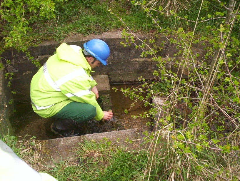
The Environment Agency has re-released its river habitat survey manual originally published in2003 and made it available on their website as a free download.
River Habitat Survey (RHS) is a method designed to characterise and assess, in broad terms, the physical structure of freshwater streams and rivers. The field survey element
does not require specialist geomorphological or botanical expertise, but recognition of vegetation types and an understanding of basic geomorphological principles and processes are needed.
RHS is carried out along a standard 500m length of river channel. Observations are made
at ten equally spaced spot-checks along the channel, whilst information on valley form and land-use in the river corridor provides additional context.
The underlying need for any observational method such as RHS is confidence in the survey data. This means consistent recording of features by competent, well-trained, and accredited surveyors as well as checks on subsequent data-entry onto the computer database.

The field survey has been designed, tested and improved as a result of extensive use on rivers in the UK since 1994. The 2003 version represents the first major overhaul of the form design, revision of some component elements, and updating of the guidance manual, since 1997. The major differences between the 1997 and 2003 versions are summarised in Appendix 7 of the guidance.
Surveyor accreditation is needed for data to be entered onto the RHS database. This means surveyors attending a training course using the 2003 version, and passing an accreditation test.
RHS has also been tested in other European countries such as Finland, France, Austria, Portugal (Madeira), Italy and Slovenia with a view to adapting the survey for local conditions. Cross-comparison between RHS and other methods for surveying river hydromorphology in Europe has also been carried out,4 with a view to producing standard guidance on techniques for assessing the physical characteristics of watercourses.
RHS also helps to provide information on river structure, vegetation character and land use required for SERCON (System for Evaluating Rivers for Conservation), an assessment system that has scoring systems for several attributes in relation to determining the nature conservation value of rivers.
Guidance is provided on the fieldwork survey element of the core RHS method only. It does not cover map-based information gathering or additional modules such as the one being developed for gathering specialist geomorphological information.
It is imperative that all surveys are conducted in conditions which are safe for surveyors. A health and safety assessment is an integral part of the survey and the form must be completed before embarking on the survey, and attached with the completed survey forms.
An online copy of the manual can be found here. If you require environmental advice please contact one of the Ashbrooke team.
